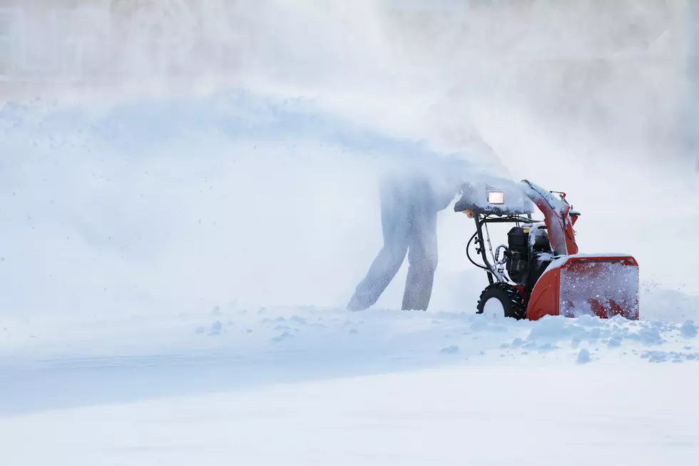
Winter Storm WARNING Issued For Eastern Iowa
You want the perfect example of Iowa weather? Thursday the high was 56 degrees. Today, we're under a Winter Storm Warning. Welcome to Iowa.
It's been a quiet winter across Eastern Iowa, but that all changes starting later this afternoon as a storm system moves in that will bring with it ice, snow, and wind. Because of that, a Winter Storm Warning goes into effect at 3 p.m. this afternoon and last through 6 p.m. Saturday.
The first wave will hit tonight when a wintry mix of rain, ice, and snow hits the state between 3 and 6 p.m. Accumulations should be fairly light. Then we get a break before the snow returns later on Saturday afternoon. There will be widespread measurable snow with the heaviest amounts in Southeast Iowa. Around 4 to 7 inches seems to be a safe bet for most of Eastern Iowa.
So gas up the snowblower, have your icemelt ready and get set for winter driving conditions. Our mild winter could be coming to an end. For now, this remains a watch in Waterloo.
[via CBS2]
More From K92.3